Ministry approves environmental plan for Canal İstanbul
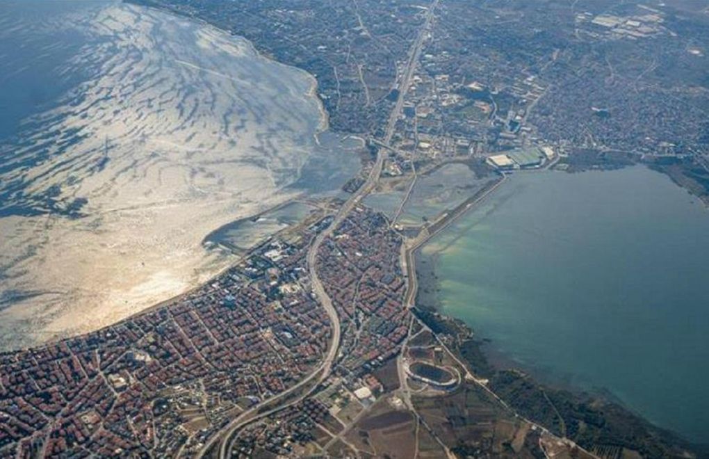
Photo: AA
Click to read the article in Turkish
Minister of Environment and Urbanization Murat Kurum has approved the environmental plan for a 13,364-hectare land around the Canal İstanbul project.
With the plan, residential areas, number of floors, green fields and public transport routes have been determined in an area covering Başahşehir and Arnavutköy districts.
The approved plan covers three of the seven stages of the canal project. Authorities are working for the other four stages, the Anadolu Agency reported.
According to the plan, about 52 percent of the area are allocated for "green fields, roads and social reinforcement."
Also, residential buildings in the area will not be higher than three floors plus the ground floor and "ecological corridors," which includes walking trails and bike roads, will be formed.
The plan was first published on June 26 and was changed after objections by professional organizations.
The Union of Chambers of Turkish Engineers and Architects (UCTEA/TMMOB) Board Chair Emin Koramaz said the changes made to the plan do not remove the environmental threats caused by the canal project, referring to the planned "nature tourism" areas around Terkos Lake.
Canal (Kanal) İstanbul project
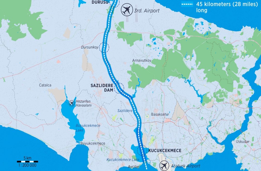
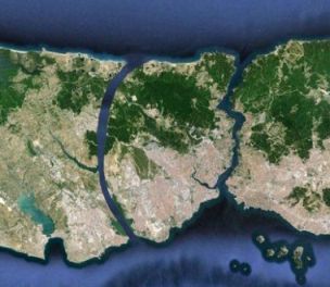
President and ruling Justice and Development Party (AKP) Chair Recep Tayyip Erdoğan made a statement in 2011, when he was still the Prime Minister. In his speech, he mentioned "a new İstanbul" objective. Presented as a "crazy project", the plan referred to 'Canal İstanbul' for the first time. What is in the 'crazy project'?The basic information as to the project was shared with the public at a press conference in Haliç Congress Center in 2011. The plan foresaw an artificial sea-level waterway that would connect the Black Sea to the Sea of Marmara. Accordingly, the project was extending from the region known as old stone pits on Black Sea shores in the north to Sarıyer in the east and Karaburun in the west. While the residences in Sarıyer center, Kemerburgaz, Göktürk and Arnavutköy have been excluded from the project, the damaged parts of the forest along the forest boundary have been included in the project. Sarıyer region, which is a historical protected area, marked the eastern border of the project. The work area was determined as 33 thousand 500 hectares and located at the borders of Arnavutköy, Eyüp and Sarıyer districts. There were 21 villages with a population of 41 thousand 749 people within the designated work area. The most important aspect of the project was the integration of transportation. The construction of 3rd Bosphorus bridge foreseen by the project has been completed. Minister Arslan stated that they would start the construction work this year. Region opened to unearned income with bag billIn May 2016, 32 articles of 20 laws were amended. An additional article added to the Pasture Law has paved the way for the region's zoning for construction. With another amendment introduced to the law, it has been understood that the access roads to the Canal İstanbul will be toll roads. Ahmet Arslan, the then Minister of Transportation, Maritime Affairs and Communications, announced the route of the project in 2018. He said that the canal would form an artificial waterway from the Black Sea to Marmara Sea, covering 45 kilometers from Küçükçekmece Lake through Küçükçekmece-Sazlıdere-Durusu corridor. |
(TP/VK)


